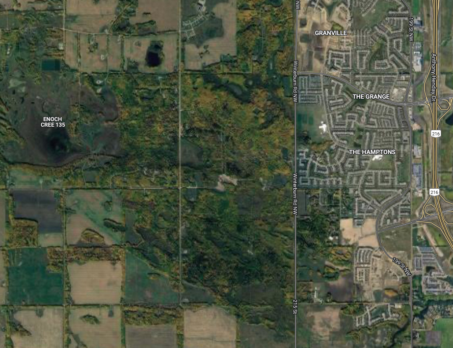
The Winterburn Woodland
While Alberta is often understood as a prairie province, Edmonton is nestled within a geographical zone known as aspen parkland:…
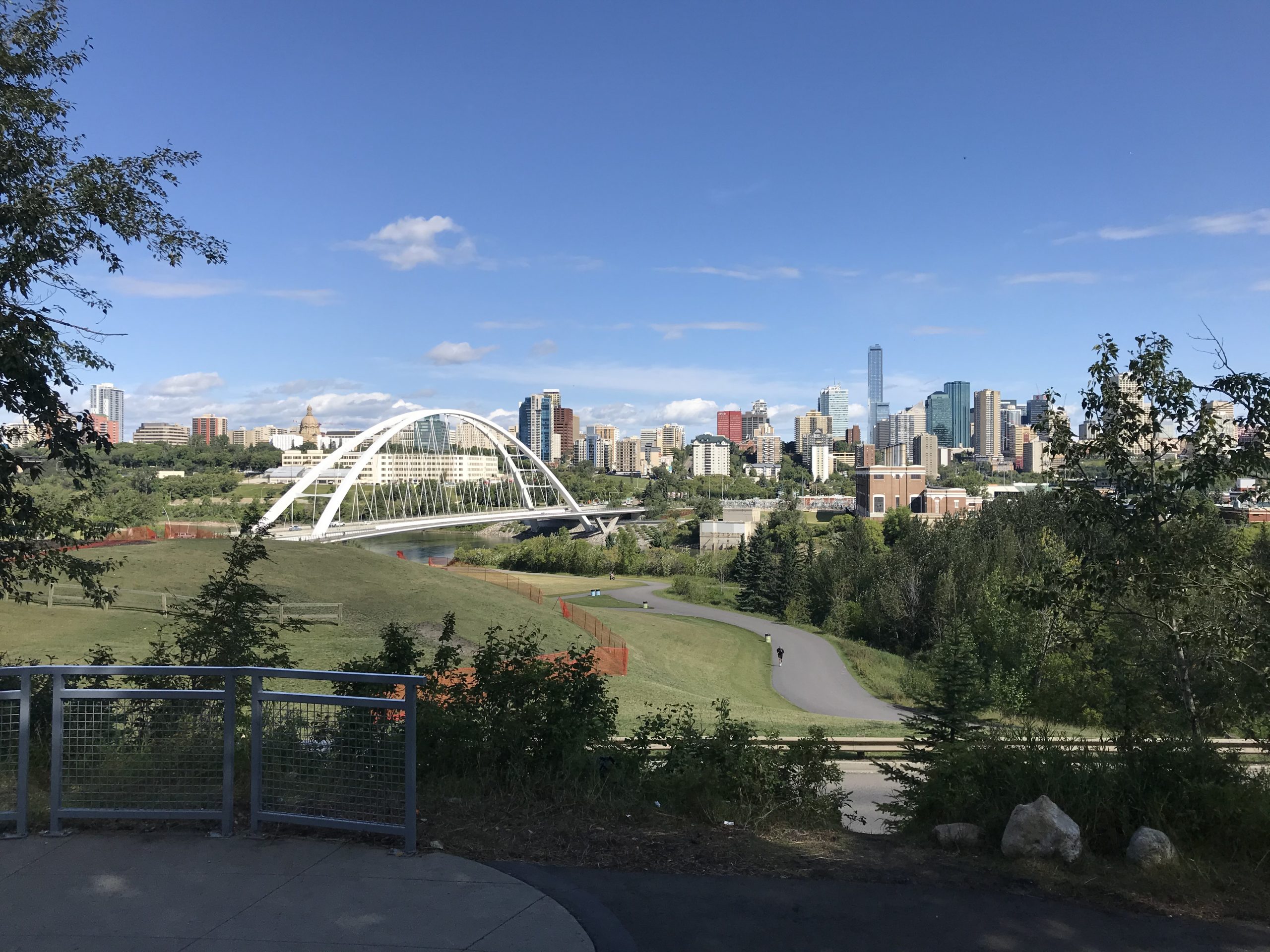

While Alberta is often understood as a prairie province, Edmonton is nestled within a geographical zone known as aspen parkland:…
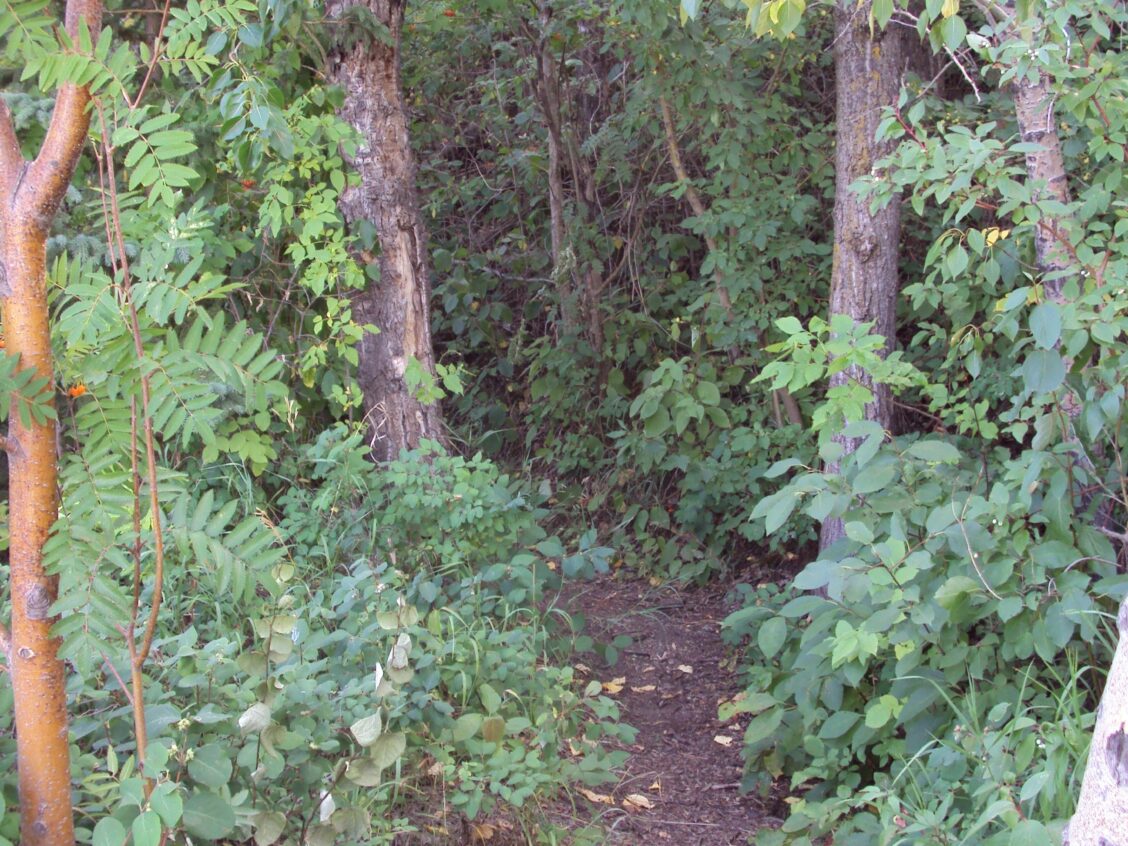
Around the time that Alberta became a province in 1905, the riverbank went through a process that produced its unique topography that gives it its odd “Camel Humps” name today.
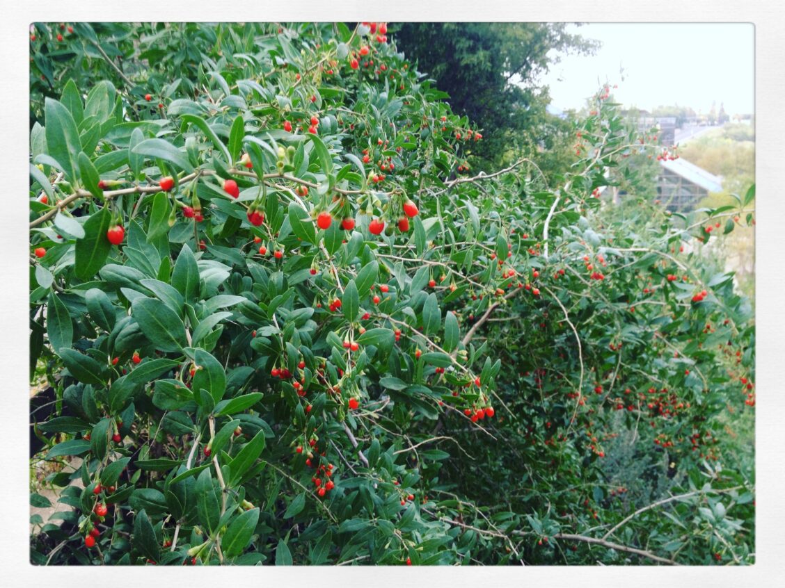
Edmonton is a unique blend of indigenous and introduced species. As a sprawling city that contains eighteen-thousand acres of river-valley,…

The summer of 2010 was a memorable time: I started dating my future husband, and I started exploring Edmonton’s river…
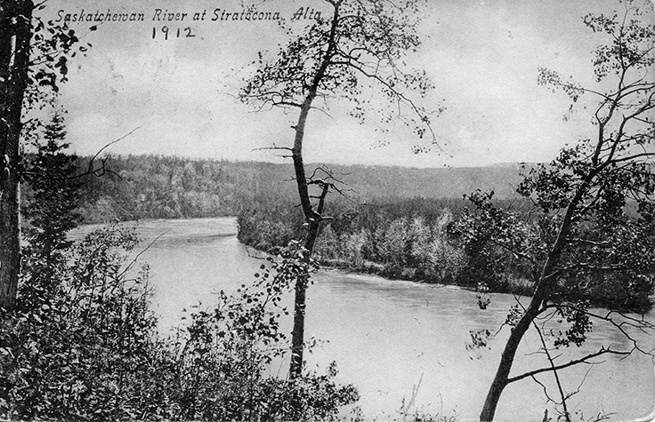
Rising out of the Rocky Mountain glaciers, flowing ever eastward toward Hudson Bay, the North Saskatchewan River has meandered across…
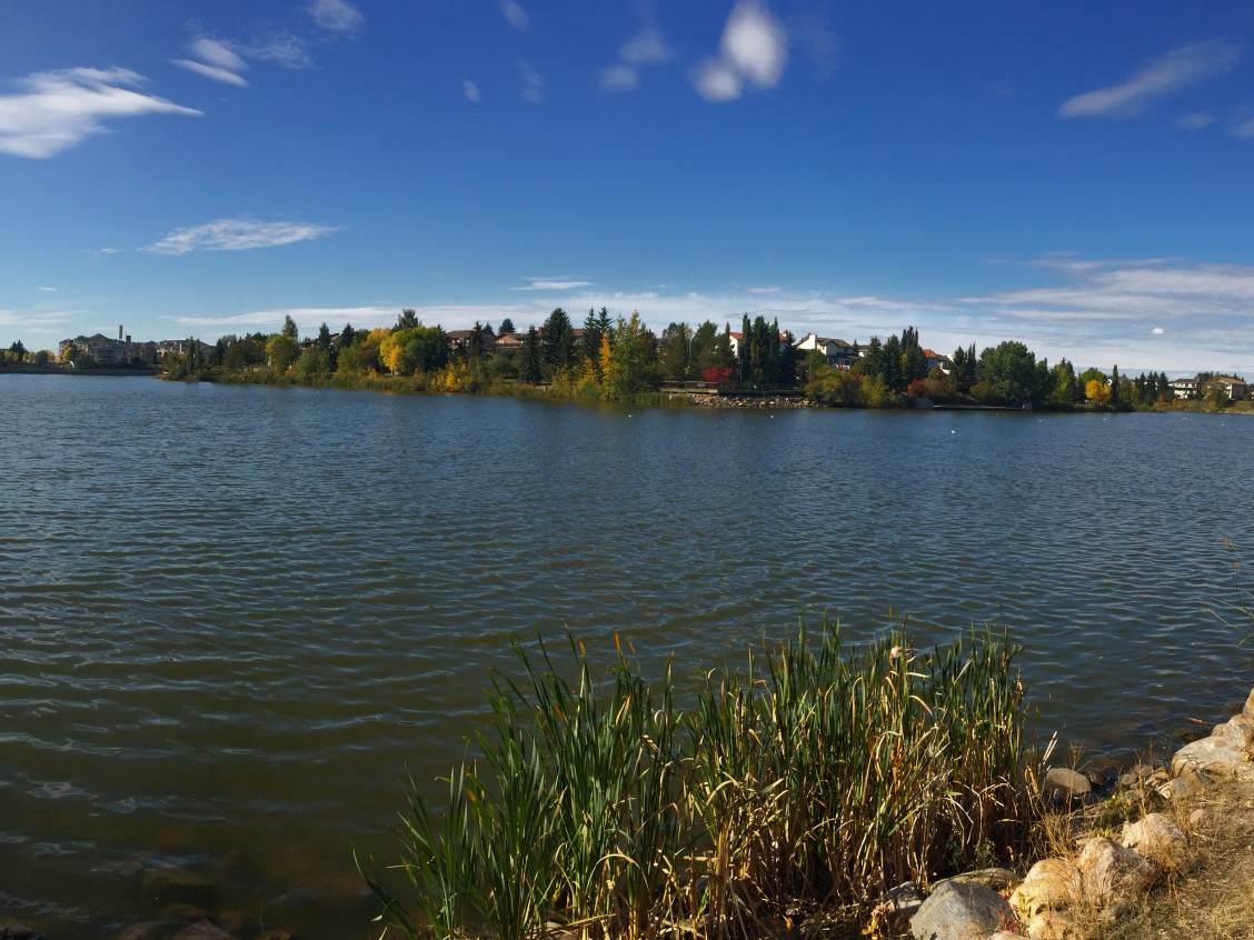
When I moved to Castle Downs nearly ten years ago, I saw a typical 1970s development: parks, schools, stores, churches,…

Before the highways and railways, there was the North Saskatchewan River. During the 18th and 19th centuries, the Saskatchewan River…
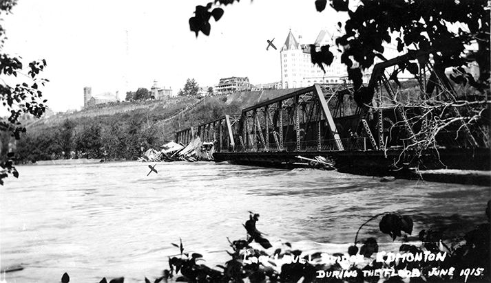
On June 29, 1915, the North Saskatchewan River flooded Edmonton’s river valley. The river had flooded before, of course, but…
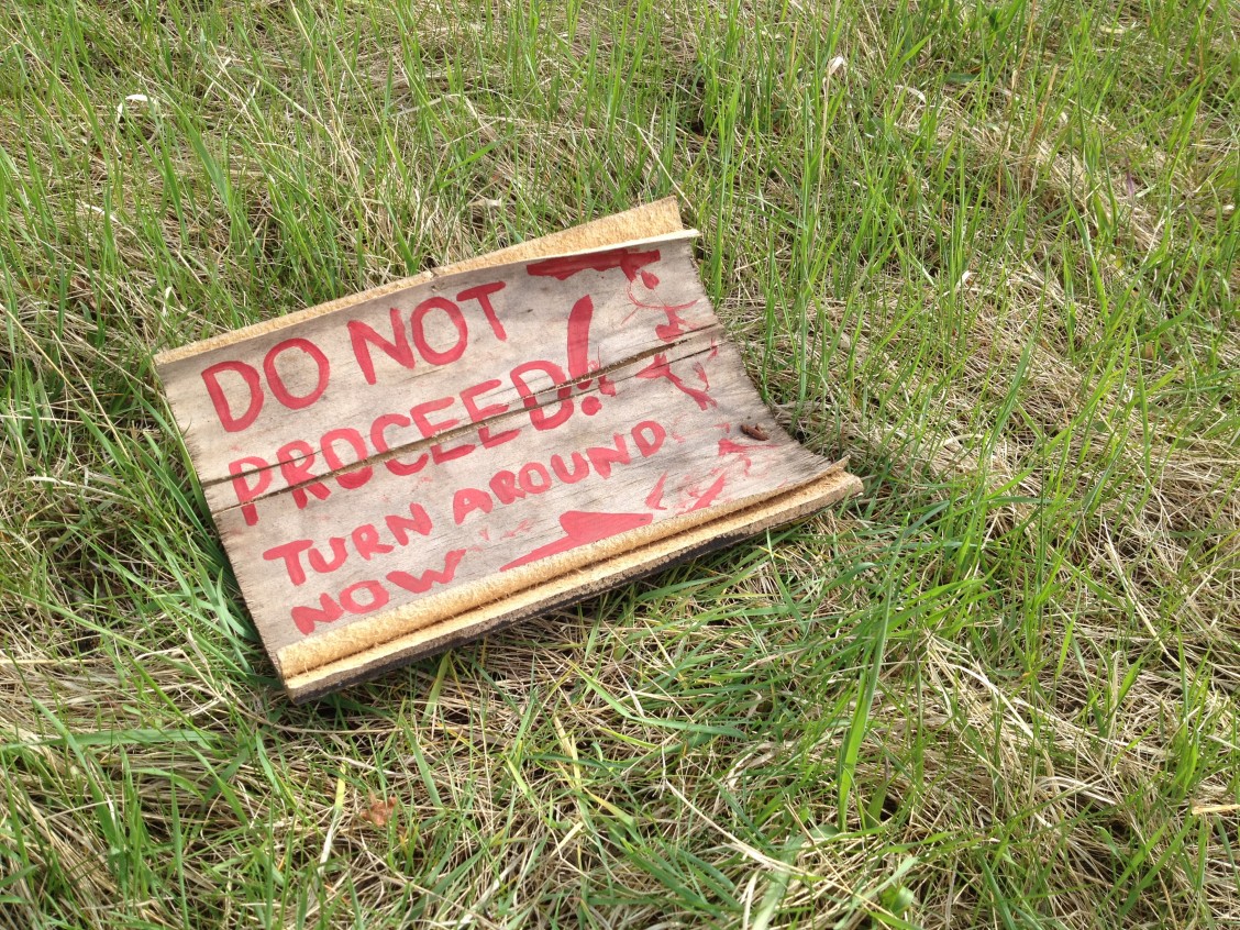
I grew up in South East Mill Woods. My back gate opened into a sprawling wheat field, scattered with dense…