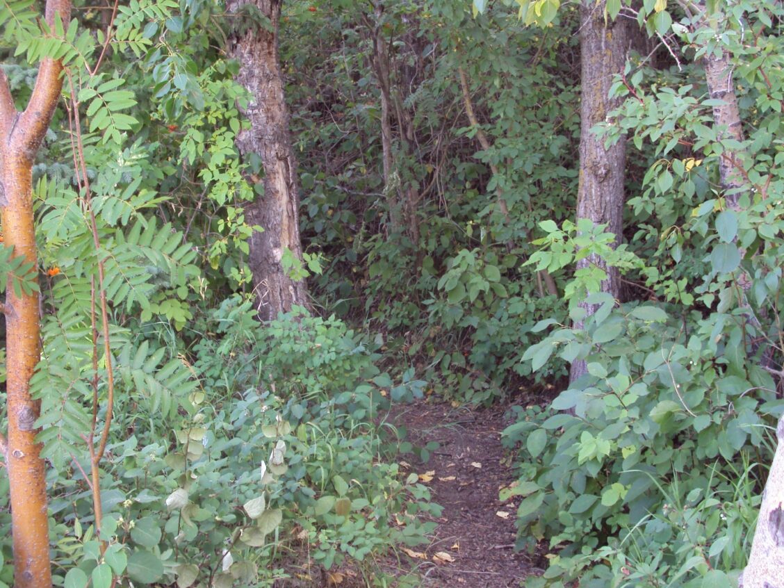
The Camel Humps: A Special Little Corner of Edmonton
Around the time that Alberta became a province in 1905, the riverbank went through a process that produced its unique topography that gives it its odd “Camel Humps” name today.

Around the time that Alberta became a province in 1905, the riverbank went through a process that produced its unique topography that gives it its odd “Camel Humps” name today.
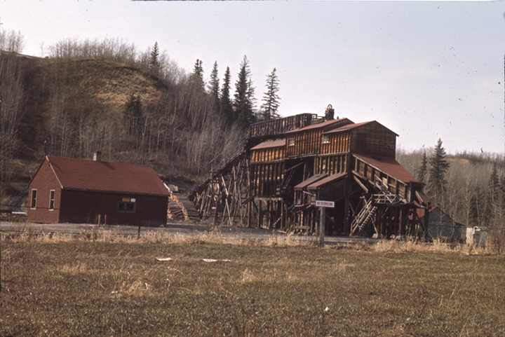
Rambling up the steep paths of the Whitemud Creek cutbank, a view of Rainbow Valley Park appears along with the…
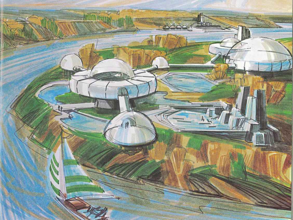
In the middle of the twentieth century, G. S. Woodward was one of a handful of Edmontonians who plied the…

Although the lake is no longer visible, its “ghost” is discernable on early maps and in the form of flooding…
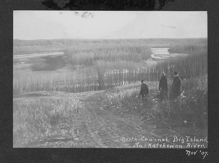
Big Island, a 70-acre island located 16 miles upstream from the city of Edmonton, is a lesser-known piece of Edmonton’s…
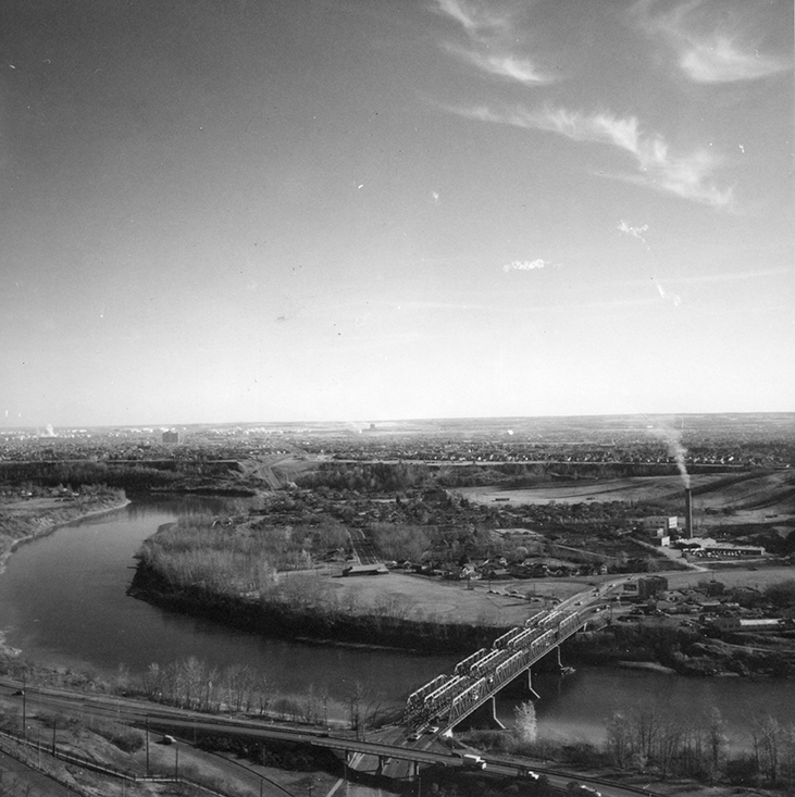
Perhaps the desire to burn our waste comes from a primeval desire to cover our tracks. And our smells. Incineration…
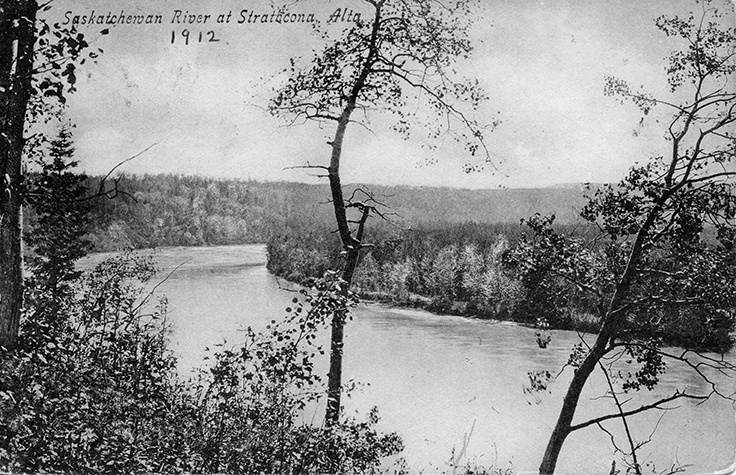
Rising out of the Rocky Mountain glaciers, flowing ever eastward toward Hudson Bay, the North Saskatchewan River has meandered across…
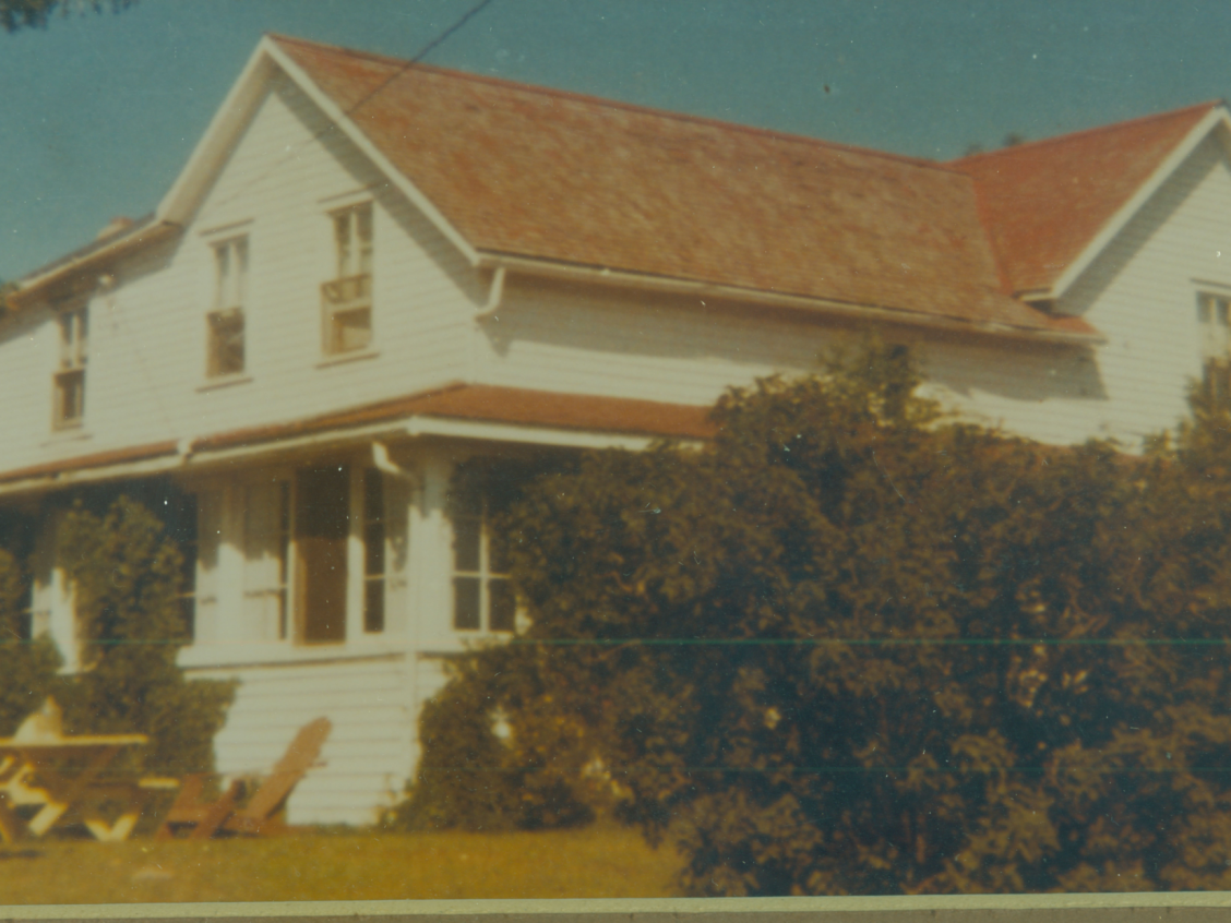
Jacob and Aafje Prins helped more than 800 Dutch newcomers settle in Canada and the hospitality of their big white…
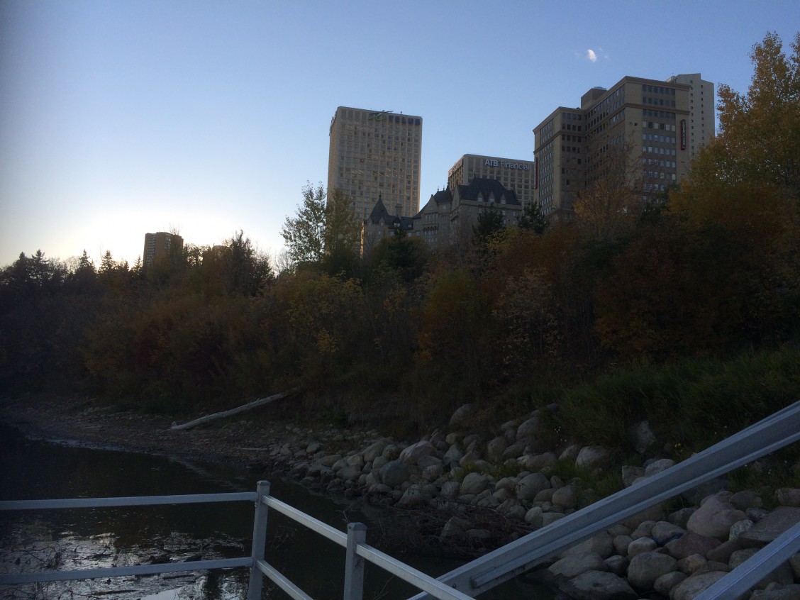
Waste may be as old as humanity, but the idea of trash is a relatively modern concept. In the first…
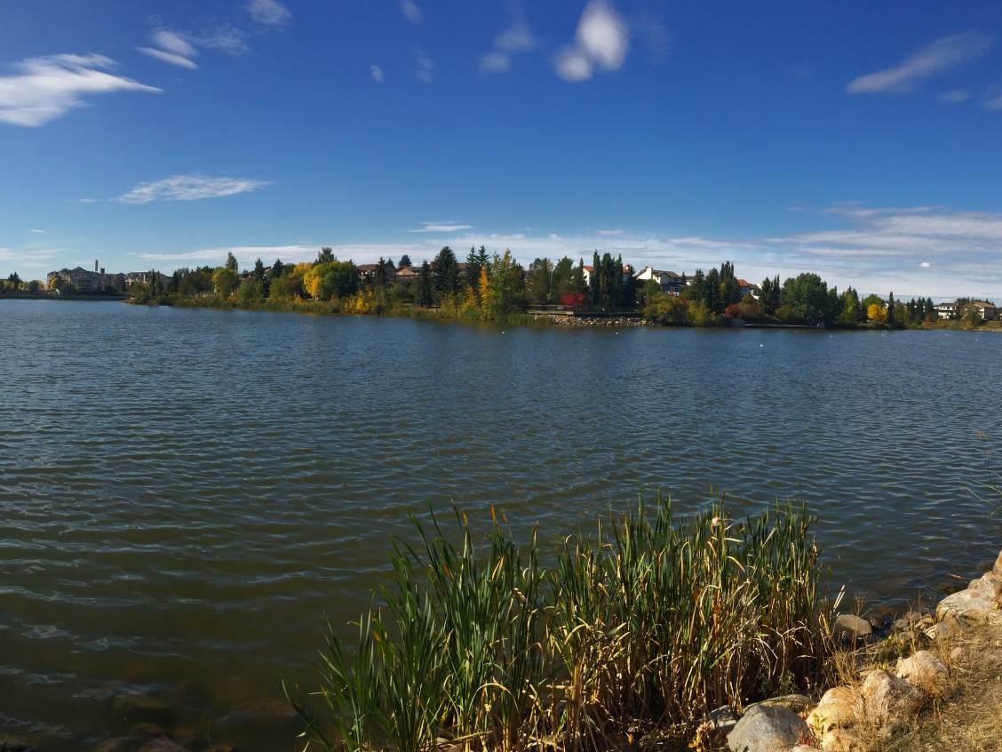
When I moved to Castle Downs nearly ten years ago, I saw a typical 1970s development: parks, schools, stores, churches,…

Before the highways and railways, there was the North Saskatchewan River. During the 18th and 19th centuries, the Saskatchewan River…
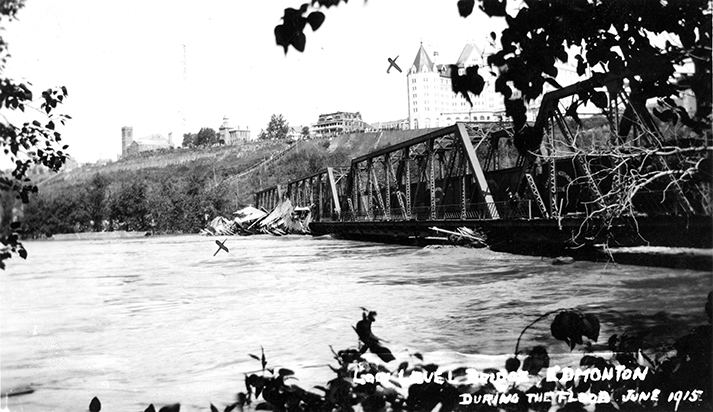
On June 29, 1915, the North Saskatchewan River flooded Edmonton’s river valley. The river had flooded before, of course, but…